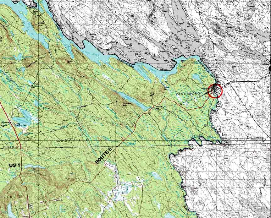
The area of interest to most canoeists is the 33 mile wilderness from the control gate at Vanceboro, Maine and St. Croix, New Brunswick to Kelleyland at the Grand Falls hydro dam.
It is primarily Class I and II rapids, with one Class III pitch. There is some flatwater. Since the flow is controlled, it is easily paddled from May until October.
More detailed information is available on the web.